【ArcGIS Pro SDK for .Net】Add-in插件开发教程
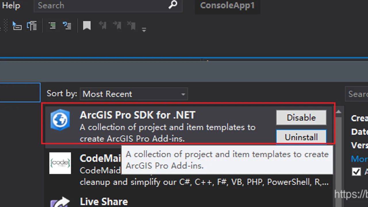
在进行ArcGIS Pro Add-in插件开发之前,确保电脑安装以下依赖 - Visual Studio 2019 - ArcGIS Pro 2.5 - .Net Framework 4.8
10 篇公开文章
在进行ArcGIS Pro Add-in插件开发之前,确保电脑安装以下依赖 - Visual Studio 2019 - ArcGIS Pro 2.5 - .Net Framework 4.8
这段时间因为要做自己项目的SDK,所以参考了一下Google Earth COM API的开发方式,无奈Google Earth COM API年代过于久远,技术早已过时,所以也没有很大的参考意义,这里权当整理一下自己的做的笔记,或许能帮助
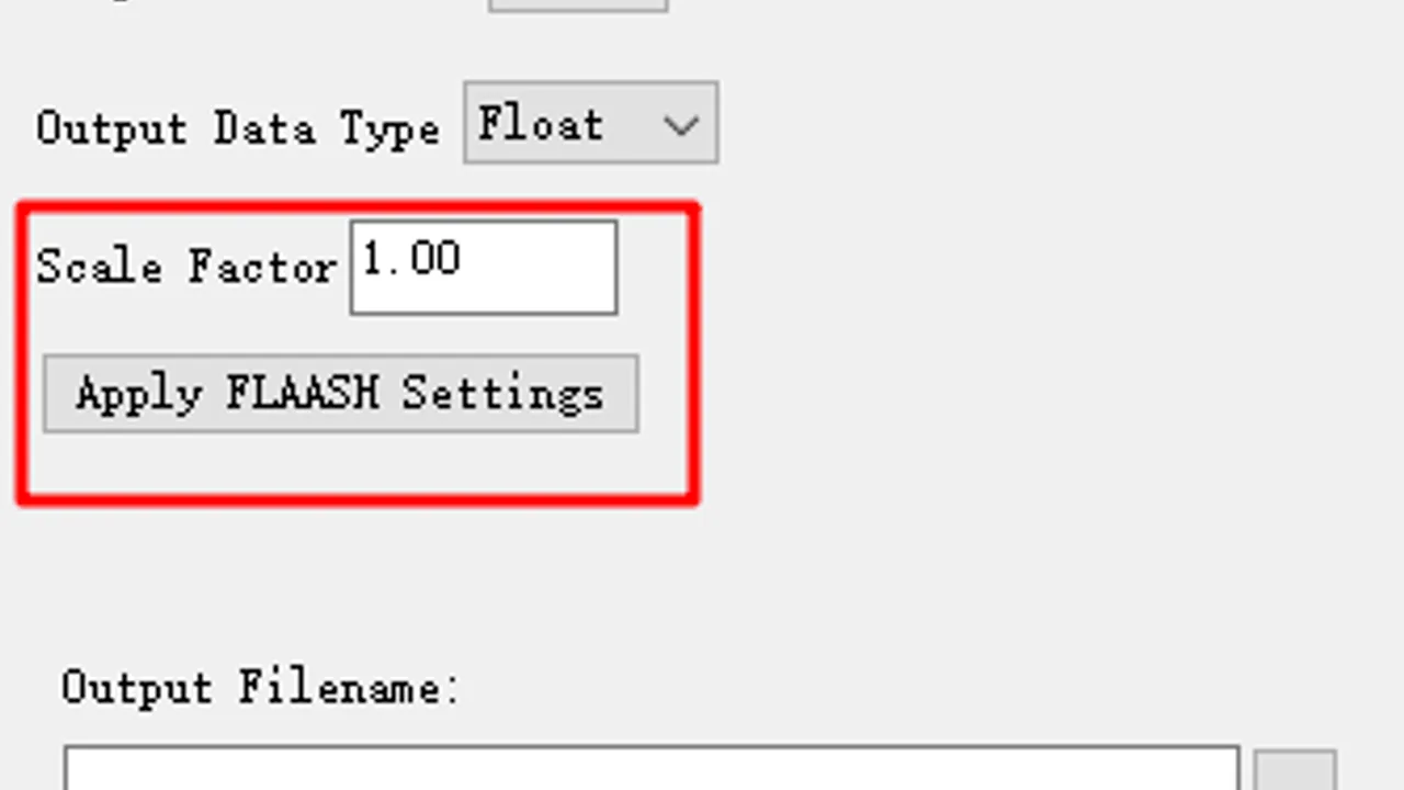
FLAASH要求输入数据的像元值具有物理意义,其单位为: µW/(cm2 \ sr \ nm) 所以在操作此步骤之前,需对数据进行辐射定标,ENVI中通用辐射定标工具为Radiometric Calibration,默认选项定标后的数据单位
ENVI中的裁剪不是很方便,背景值总是容易保留,其实只要注意以下三点就不会出错 当shp文件为线状时,裁剪出来的栅格会以外面的矩形为准,不能完整裁剪栅格,以面状shp裁剪时,则保留面状内的栅格
Google Earth Studio教程专栏 【Google Earth Studio】初步探索 【Google Earth Studio】基础编辑技巧 【Google Earth Studio】进阶编辑技巧 【Google Earth
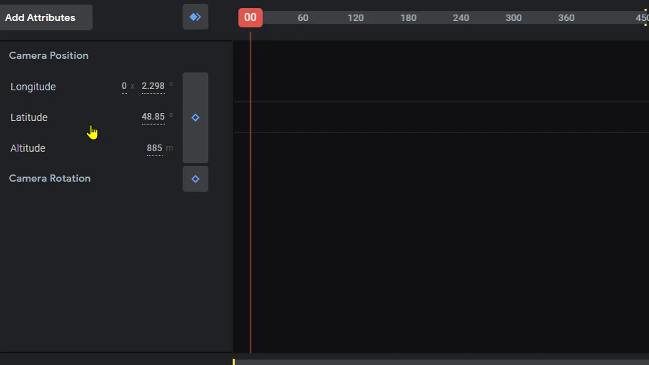
Google Earth Studio教程专栏 【Google Earth Studio】初步探索 【Google Earth Studio】基础编辑技巧 【Google Earth Studio】进阶编辑技巧 【Google Earth
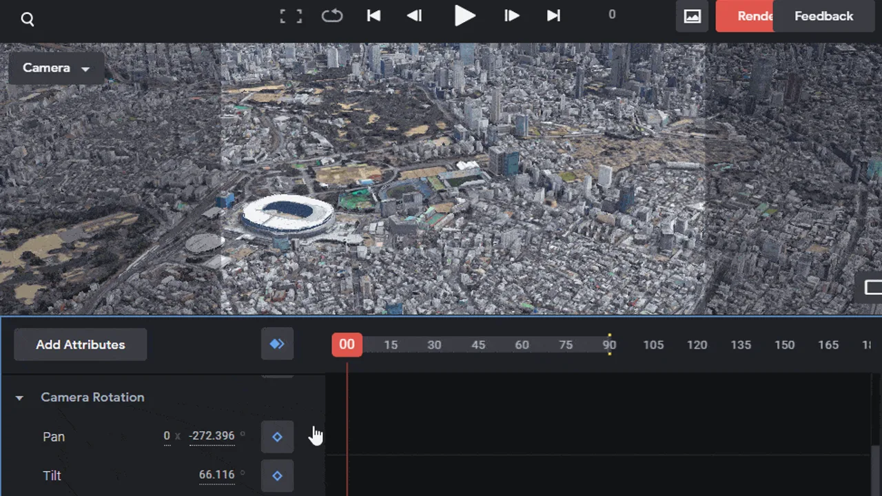
Google Earth Studio教程专栏 【Google Earth Studio】初步探索 【Google Earth Studio】基础编辑技巧 【Google Earth Studio】进阶编辑技巧 【Google Earth
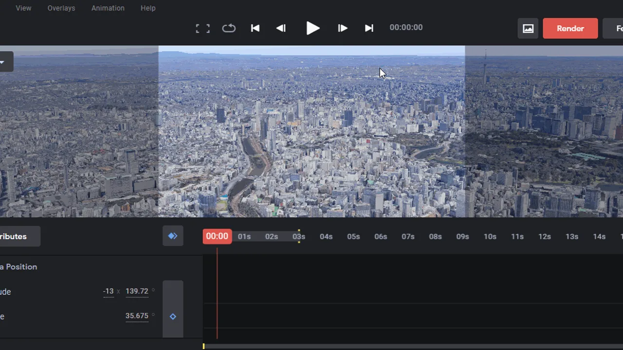
Google Earth Studio教程专栏 【Google Earth Studio】初步探索 【Google Earth Studio】基础编辑技巧 【Google Earth Studio】进阶编辑技巧 【Google Earth
原文网址:http://gisgeography.com/free-satellite-imagery-data-list/ 国外数据:
前言。 这片文章内容比较多,可以直接点击目录跳转你感兴趣的内容,所有数据均在文章末尾,欢迎下载 到AWS官网注册账号 AWS 云服务